Decision note · 27 July 2026
What an Auckland flood-map hit does—and does not—prove
A decision-focused explanation of what an Auckland flood-map intersection means, what it cannot establish, and when to investigate further.
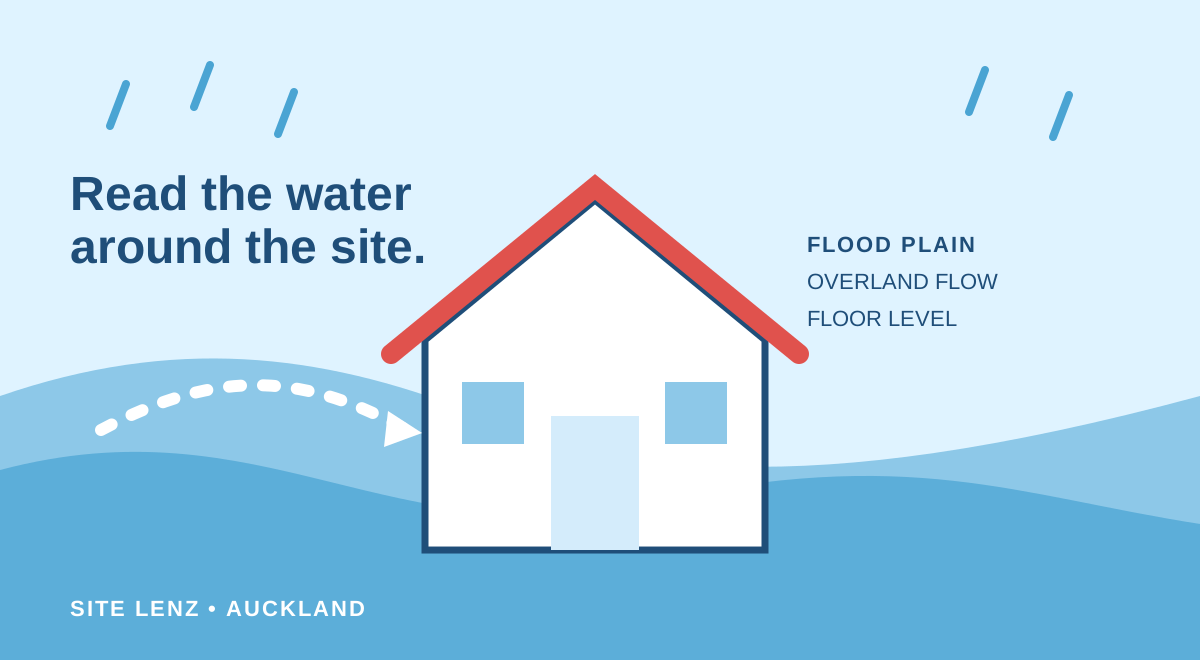
A flood-map hit is evidence that a published council hazard layer intersects the selected property geometry. It is a reason to ask better questions—not a verdict on the house, the insurance outcome or the price.
What the hit does establish
It identifies the layer, its mapped geometry and the place where that geometry meets the parcel or building area shown on the map. Depending on the layer, it may represent a modelled flood extent, a topographical depression or a terrain-derived overland flow route.
That is enough to justify a closer look at where the hazard sits relative to the dwelling, access, garages, retaining walls, low points and any proposed work.
What the hit does not establish
Auckland Council says its regional flood maps are not site-specific and do not include building-level mitigation. An overland flow path is shown as a line even though water can spread across a wider area. Much of the underlying topography used in current flood-plain mapping dates from 2016.
- It does not prove the building has previously flooded
- It does not give a surveyed floor level or site-specific water depth
- It does not account for every later earthwork or building mitigation
- It does not decide insurance availability, exclusions or excesses
- A clear map does not exclude every possible source of site flooding
Decide the next check by proximity and consequence
If the mapped area only clips a distant corner and your decision does not depend on that land, confirm the layer and keep a dated record. If it crosses the dwelling, sole vehicle access or a proposed building area—or if there is a history of flooding—review the LIM and property file, ask the insurer in writing and consider site-specific advice.
Council recommends contacting it first for help understanding why a property is mapped. Where the decision depends on levels, flow depth, slope behaviour or mitigation, engage a suitably experienced civil, stormwater, geotechnical or structural engineer for a clearly defined question.
Frequently asked questions
Does a flood plain on the parcel mean the house will flood?
No. The building position, floor level, water depth, flow route, drainage condition and event all matter. The map is a screening layer, not a building-specific conclusion.
Can a flood-map hit be wrong?
Mapping has assumptions, source dates and scale limitations. Ask council to explain the layer before commissioning work, then use surveyed or technical evidence if the decision requires a site-specific conclusion.
Will a LIM settle the flood question?
A LIM records hazard information council holds at that point in time, but council says it does not replace a property-level report or site-specific assessment.
Primary sources
- Understanding Auckland’s regional flood maps — Auckland Council
- How to order a Land Information Memorandum (LIM) — Auckland Council
- Engaging an engineer — Engineering New Zealand
This guide is general information, not planning, legal, engineering, building, insurance, or real estate advice. Official information and rules can change; verify the current source and obtain advice for your property.
Change log
First published using Auckland Council’s March 2026 explanation of regional flood-map scope and limitations.