Flood due diligence
How to check flood risk for an Auckland property
A plain-English guide to Auckland flood plains, overland flow paths, flood-prone areas, coastal inundation, LIM checks and insurance questions.
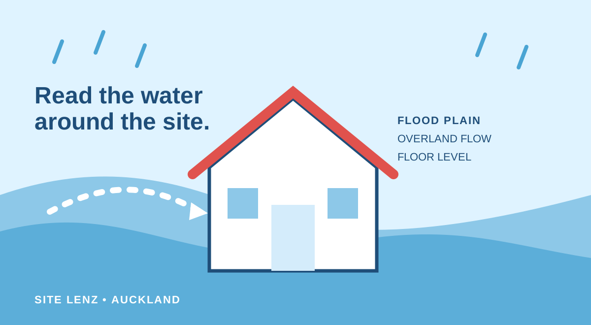
Flood risk is site-specific. Two homes on the same street can have different mapped hazards, floor levels, drainage paths and insurance outcomes. A sensible first pass combines council maps with on-site observations and qualified advice.
Understand the main mapped layers
Auckland Council publishes flood plains, flood-prone areas, overland flow paths and coastal inundation information. Flood plains show wider areas expected to be affected in modelled events; overland flow paths show routes water may take across land; flood-prone areas indicate local depressions where water can pond.
Mapped lines and polygons have scale and modelling limitations. Look at the wider catchment and the building position, not only whether a coloured shape touches the parcel boundary.
Move from the map to property-specific questions
Check floor levels relative to surrounding ground, visible channels, retaining walls, culverts, drains and neighbouring sites. Ask whether previous owners have experienced flooding and review the LIM and property file for relevant records.
- Which hazard layer intersects the parcel or building?
- Does water appear to flow toward or away from the home?
- Could fences, landscaping or additions obstruct a flow path?
- Are there records of flood events, drainage work or floor-level evidence?
Confirm insurance and technical advice early
Send the insurer enough information to assess the actual property and obtain written confirmation before your agreement becomes unconditional. Ask about exclusions, excesses and whether future claims could be affected.
For building or development decisions, a stormwater or civil engineer can assess site levels, catchment behaviour and mitigation options. Planning and building requirements may also apply.
Frequently asked questions
What is an overland flow path?
It is a mapped route that surface water may follow when rainfall exceeds drainage capacity. Its practical effect depends on flow depth, site levels, structures and the proposal.
Will flood information appear on a LIM?
Auckland Council says known natural-hazard information is included in LIM reporting under its legal obligations. Always review the current LIM for the property.
Primary sources
- Understanding Auckland’s regional flood maps — Auckland Council
- How to order a Land Information Memorandum (LIM) — Auckland Council
This guide is general information, not planning, legal, engineering, building, insurance, or real estate advice. Official information and rules can change; verify the current source and obtain advice for your property.